
Aerial Solutions for Grounded Challenges
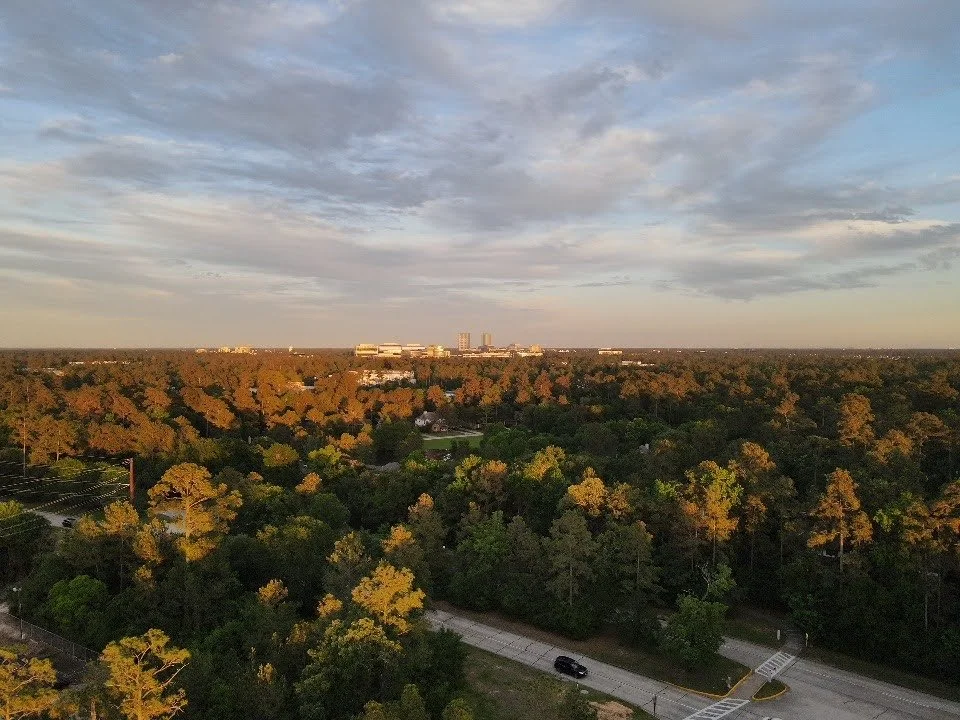
Comprehensive Solutions
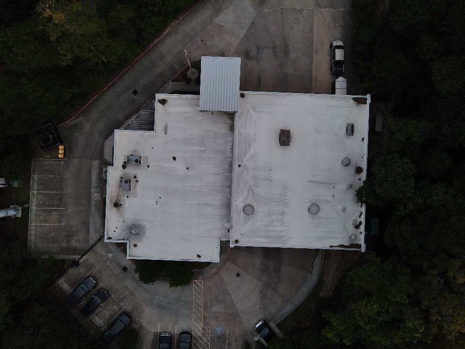
RAPTOR UAS specializes in professional aerial intelligence and imaging—helping clients plan, document, inspect, monitor, and manage projects from a perspective that ground-based services can't provide.
Tailored for Your Enterprise
-
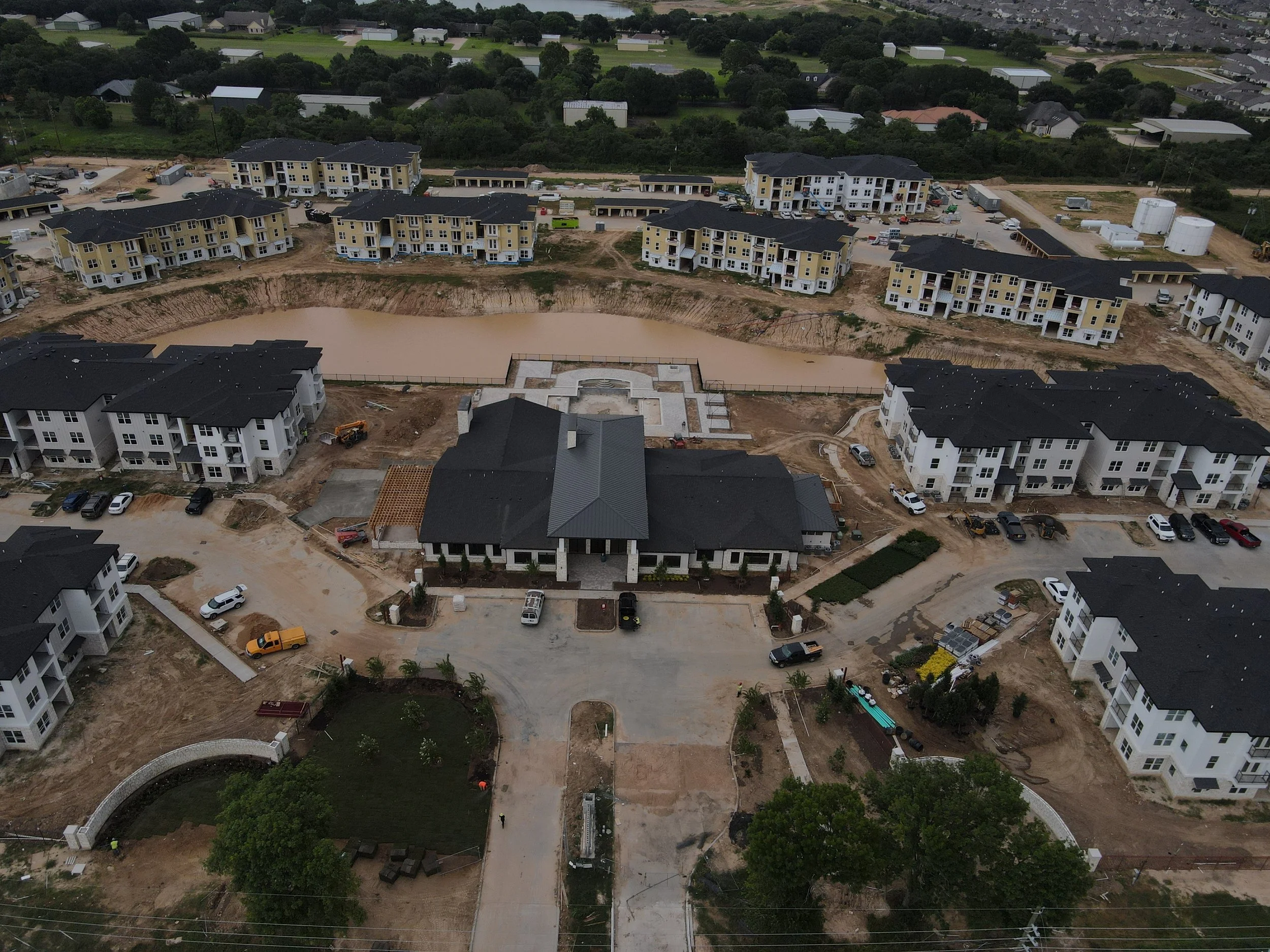
Aerial progress documentation, jobsite photography, before/during/after imagery, aerial video, and project documentation.
-
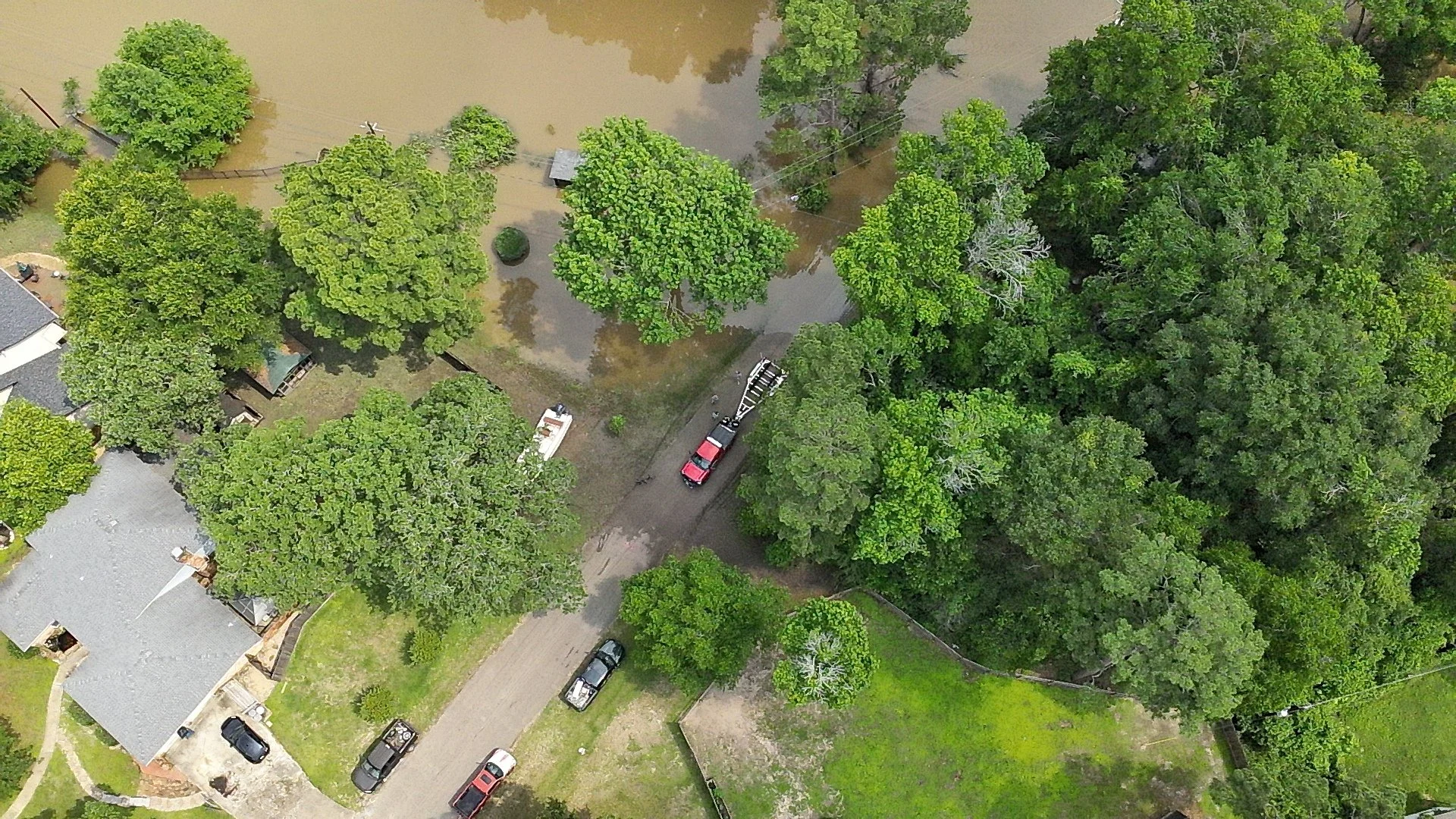
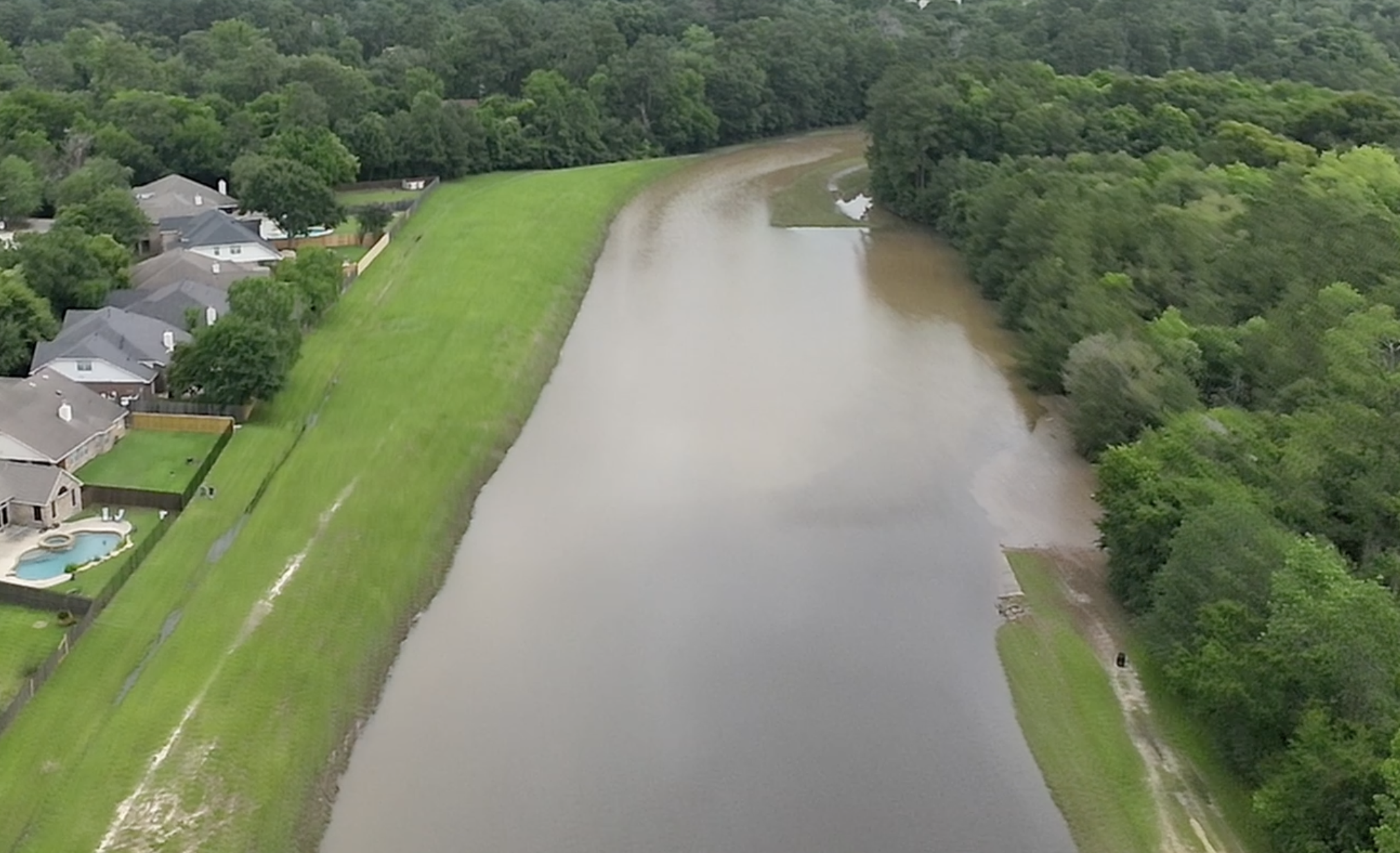
Aerial visual documentation of roofs, commercial properties, structures, solar installations, storm damage, and difficult-to-access areas.
-
Aerial imagery for acreage, livestock, crops, fencing, land development, property documentation, and general land monitoring.
-
Aerial support for lost-pet searches, missing-person searches, large-area searches, property searches, and incident documentation. description
-
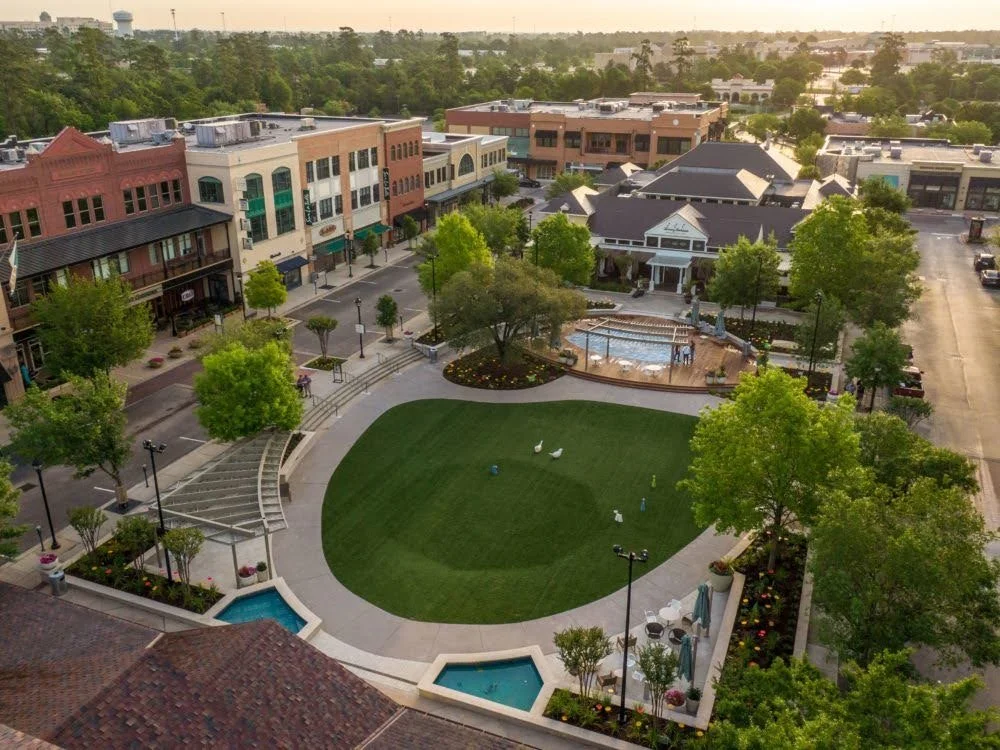
Aerial photography, video, and property/land imagery for homeowners and select property clients.
-
Specialized aerial missions where a client needs something outside the standard service categories.
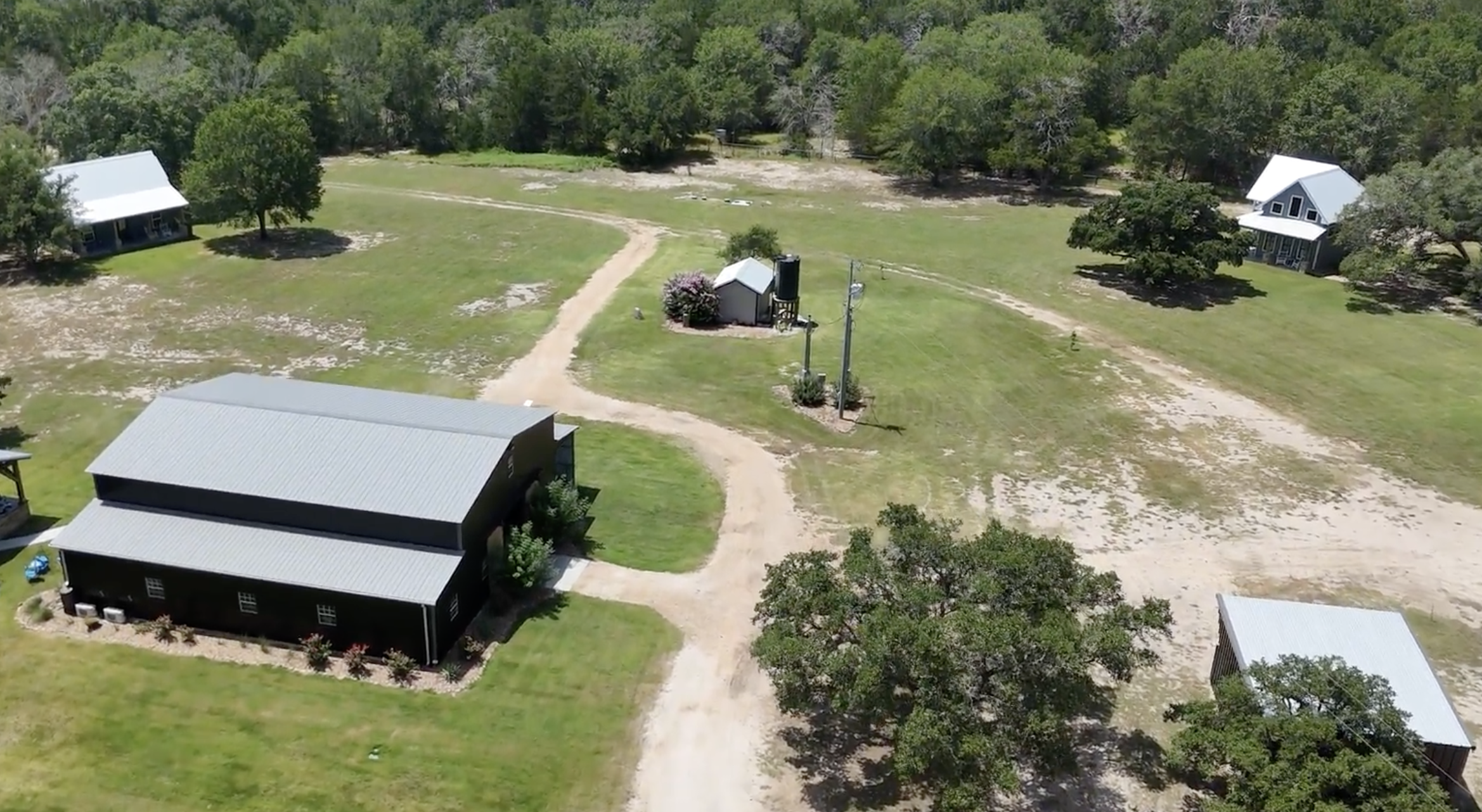
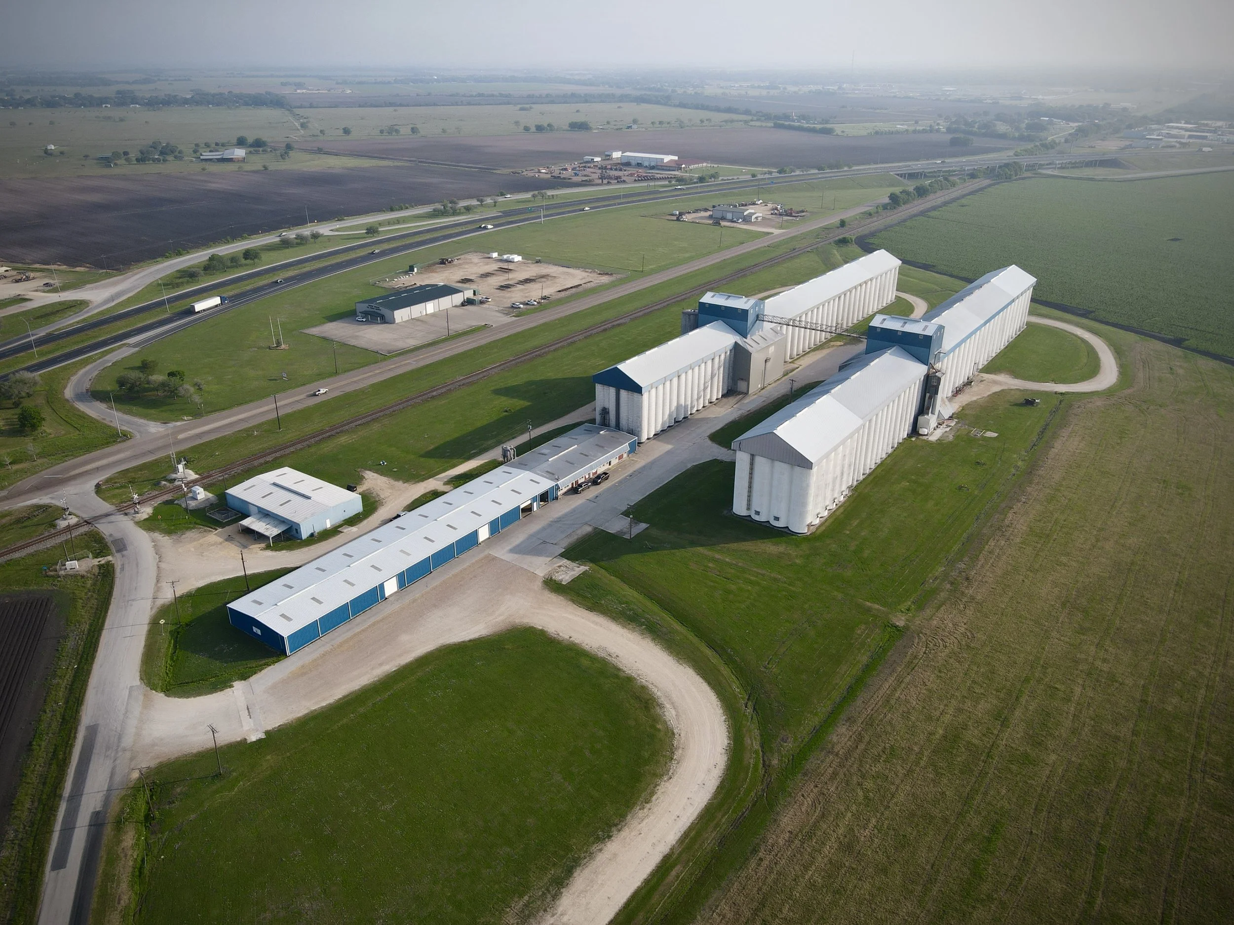
Solutions From Above
From project visibility and documentation to inspection, monitoring, search support, and decision-making, RAPTOR UAS provides practical aerial solutions designed around your specific needs.
01. Project Visibility
We will give the client a clear view of a property, jobsite, or project that they can't get effectively from the ground.
Solves:
Limited visibility
Large-area observation
Difficult-to-access locations
Need for an overall project perspective
Example: A construction manager can quickly see the entire job site rather than walking the property.
02. Progress Documentation
Create a visual record of how a project changes over time.
Before → During → After
Solves:
Recurring out of town job site visits
Disputes about project progress
Poor documentation
Difficulty communicating progress
Lack of historical visual records
03. Inspection & Condition Documentation
Provide high-resolution aerial imagery of areas that are difficult, expensive, or potentially hazardous to access.
Solves:
Roof-access problems
Difficult exterior inspections
Storm-damage documentation
Storm preparation documentation
Hard-to-reach areas
Need for visual evidence
04. Decision-Support Imagery
We give a client information they can use to make timely decisions.
"Do we need to send someone out there?"
"What does the entire property look like?"
"Where is the problem located?"
"How has this site changed?"
We call this Aerial Intelligence. We put the important answers to these questions directly into your hands.
05. Search & Situational Awareness
Provide an aerial perspective during searches or recovery efforts.
Solves:
Searching large areas
Difficult terrain
Lost-pet searches
Property searches
Missing-person support
Incident documentation
Aerial support can be provided and all crews have operational experience working amongst Fire Responders
06. Property & Land Assessment
We can give property owners and land managers an inexpensive way to see their entire property and assests.
Solves:
Large acreage that's difficult to inspect
Fence/property-line documentation
Land-development planning
Livestock observation
General property condition documentation
07. Marketing & Presentation
Create professional aerial imagery that helps a business or property look better and communicate better.
Solves:
Poor marketing imagery
Lack of aerial perspective
Difficulty showcasing a property or project
Need for professional video
08. Recurring Monitoring
We offer site re-visits at regularly recurring intervals set by the client.
That provides:
Consistent documentation
Historical comparison
Progress tracking
Repeatable imagery
Reduced need for personnel to physically document the entire site
No need for travel from out the area
Flight Disclaimer: All RAPTOR UAS operations are subject to applicable FAA regulations, airspace authorization, weather, site conditions, safety requirements, and aircraft limitations. We reserve the right to postpone, modify, or decline an operation when conditions make it unsafe or legally impermissible. While we make every reasonable effort to fulfill requested services, flight operations and deliverables cannot be guaranteed under all conditions.